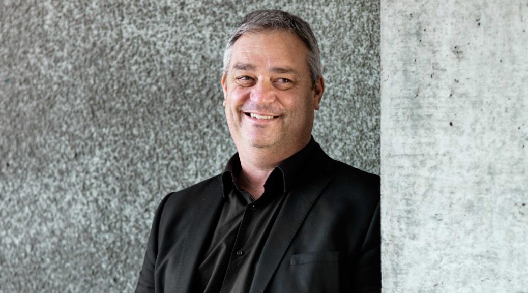
ASSOCIATE PROFESSOR JONATHAN PROCTER
Muaūpoko, Ngāi Tahu
Te Kura Mātauranga mō Ahuwhenua me Te Taiao School of Agriculture and Environment
As a volcanologist, Associate Professor Jonathan Procter from the School of Agriculture and Environment has spent most of his career working to understand and forecast the impacts of different volcanic phenomena and the hazards related to these. ‘My original research was around applying computer simulations and numerical models to predict lahars and lahar paths, and I focused mainly on Ruapehu and Taranaki,’ he said. ‘We are part of a large national team, and we have worked hard over the last few years to have a greater collaboration across our discipline throughout the country, and in making sure that we are all on board in terms of where we are heading and what we are trying to do. The Volcanic Risks Solutions team at Massey University now leads and drives volcanic hazards research across New Zealand and the world, such as research in National Science Challenges focusing on how we forecast and recover from volcanic events.’
Around five years ago, after seeing a lack of Māori research and recognition of Māori communities in the natural hazards space, Associate Professor Procter began a mātauranga Māori (Māori practices and knowledge) programme under the Resilience to Nature’s Challenges National Science Challenge. ‘A couple of us thought it was important that our chosen field of study changes a little bit, and we started up some research around building in Māori knowledge around natural hazards,’ he explained. ‘It’s been quite successful. I’m really pleased that we started from nothing, and we’ve built a large and active research community that’s doing some really good work.’
Associate Professor Procter has been learning about traditional histories from iwi to help locate where past natural hazard events occurred, how people have responded and what lessons we can apply today. He has also carried out extensive work to build awareness around the central North Island volcanoes and working with iwi to become more active in monitoring and reporting events that could mean potential eruptions. ‘It’s been about exploring where their traditional monitoring sites were, what were the things that they traditionally observed to indicate that there may be a volcanic eruption, and what their traditional practices were when they saw those things. It’s made iwi a really important part of community management and monitoring of the volcanoes in the central North Island.’
Associate Professor Procter is also involved in a Ministry of Business, Innovation and Employment Endeavour project working to build new ways of visualising Māori cultural landscapes for environmental management purposes using the latest digital technologies. ‘One of the problems that we see is that there’s a huge disconnect between iwi being able to present their environmental information and their connections to that cultural landscape effectively in a form that’s compatible with Western science or decision-making frameworks around environmental management,’ he said. ‘So we thought, one way we can do that is to adapt some of the computational processes, and reclaim other technology such as GIS [geographic information system] and remote sensing techniques to build these visualisations of people’s values and connections to areas so they can be presented with the robustness and quantification needed for Western science decision-makers and courts to take seriously.’
Another area of research he is involved in addresses the issue of the way Western science or standard practices now collect information, which sometimes does not provide the detail, including the temporal and spatial resolution, that traditional Māori practices do. ‘We’re seeing data collected over a national scale, but these catchments that we’re dealing with are very local and they require quite specific solutions,’ he said.
One example is Lake Horowhenua, near Levin, which has been heavily occupied and used over time, giving intensive information about that area. ‘The amount of data they collected with respect to the pā tuna [eel weir] and fish numbers, fish health and the health of the environment based on traditional indicators was immense. Then, changes in the twentieth century around drainage, environmental engineering and the establishment of councils resulted in the loss of these sites and the information collected at them, as well as the loss of open discussion within the community about that information. Now, they have to rely on council measurements which do not give the same level of detail. So, with some of the iwi that we’ve been working with around this area, it’s quite interesting to see again how that traditional knowledge — and the length of that knowledge — provides more detail and resolution of information than we currently collect and how that information can provide much-needed solutions.’

