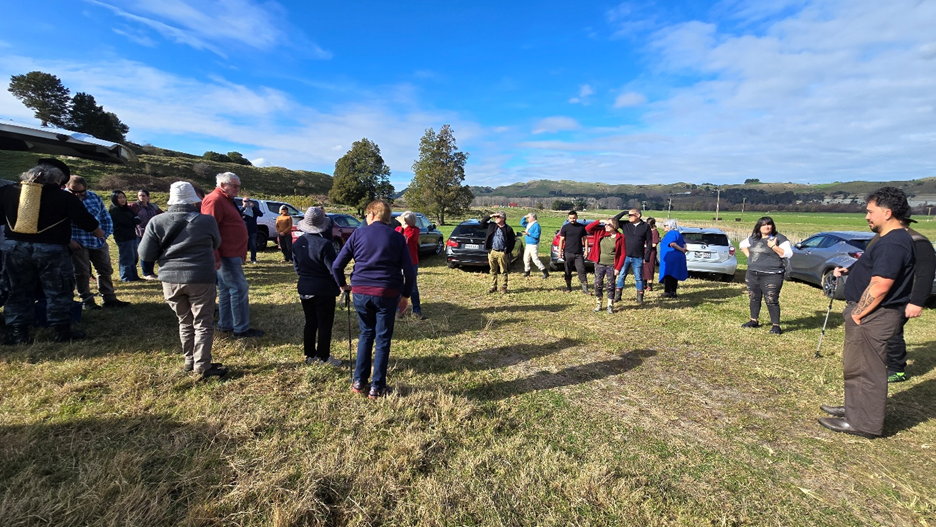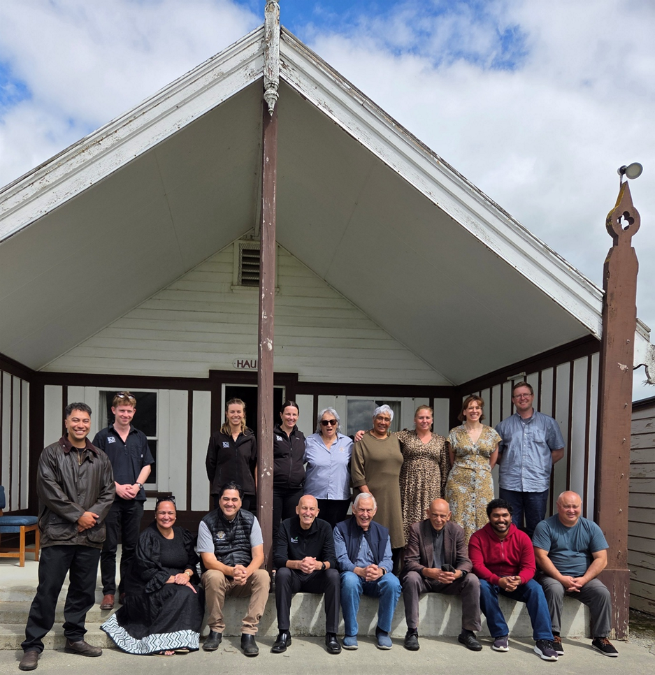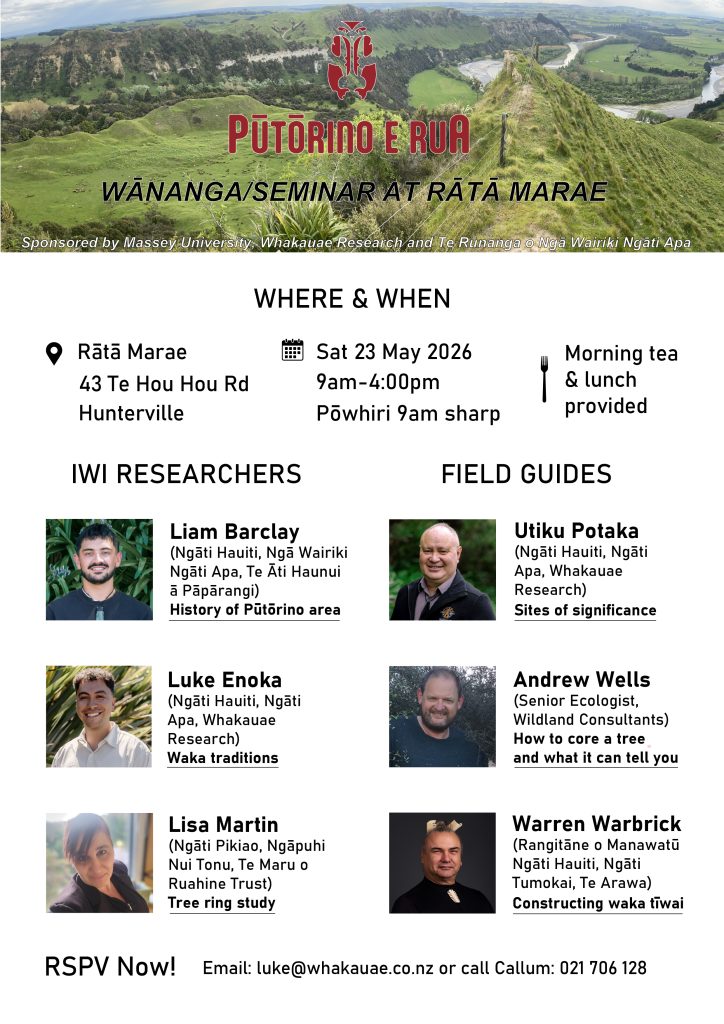
Pūtōrino e Rua wānanga at Rātā Marae 23 May 2026

Discovering the past, present and future impact on land, water and people caused by the Pūtōrino landslide

Over the 2025-2026 summer period, Lisa Martin (Ngāti Pikiao, Ngāpuhi
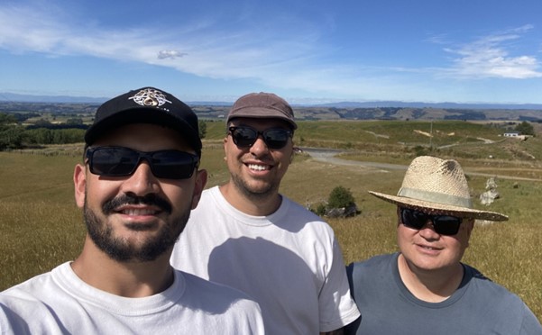
Nui Tonu, Te Maru o Ruahine Trust) undertook a dendroecology or tree-ring study together with Andrew Wells (Wildlands Consultants), Utiku Potaka (Ngāti Hauiti, Ngāti
Apa, Whakauae Research) and Callum Rees (Massey University).
The aim of the study was to build a record of environmental change over time from native trees to better understand how the landscape has formed over time and what impact landslides have had around Pūtōrino.
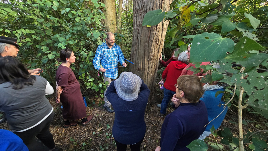
The first step was to map remnant native vegetation across the study area using historic aerial imagery and ground truthing. This mapping was then used to target field work carried out between the 23rd and 27th of Nov 2025. A total of 59 cores were taken from a range of native trees, including Totara, Matai, Kahikatea, Rimu, Kanuka, Ngaio and Rewarewa. Six slabs were taken from stumps and logs that date back to when the area was first cleared.
The cores were taken using a range of Swedish-made Haglof Increment Borers that take a pencil-sized core from the trunk of a living tree. Extracting a core wounds the tree. However, trees respond to the borer hole as they would any other wound, isolating the injured tissue through compartmentalisation to resist the spread of pathogens. This means risk to tree health is low and can be minimised by using a clean, sharp increment borer and angling the borer slightly upwards to prevent water and dirt from running into the hole. Our native trees can be hundreds and, in some cases, thousands of years old, providing an important window into the past.

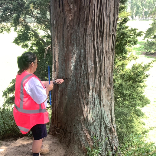
Lisa Martin starting a core on a Totara tree using a 500 mm long Haglof Increment Borer

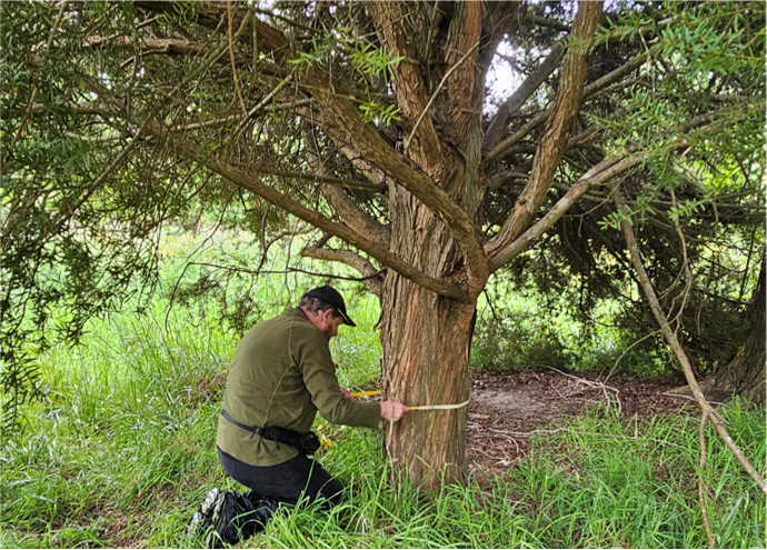
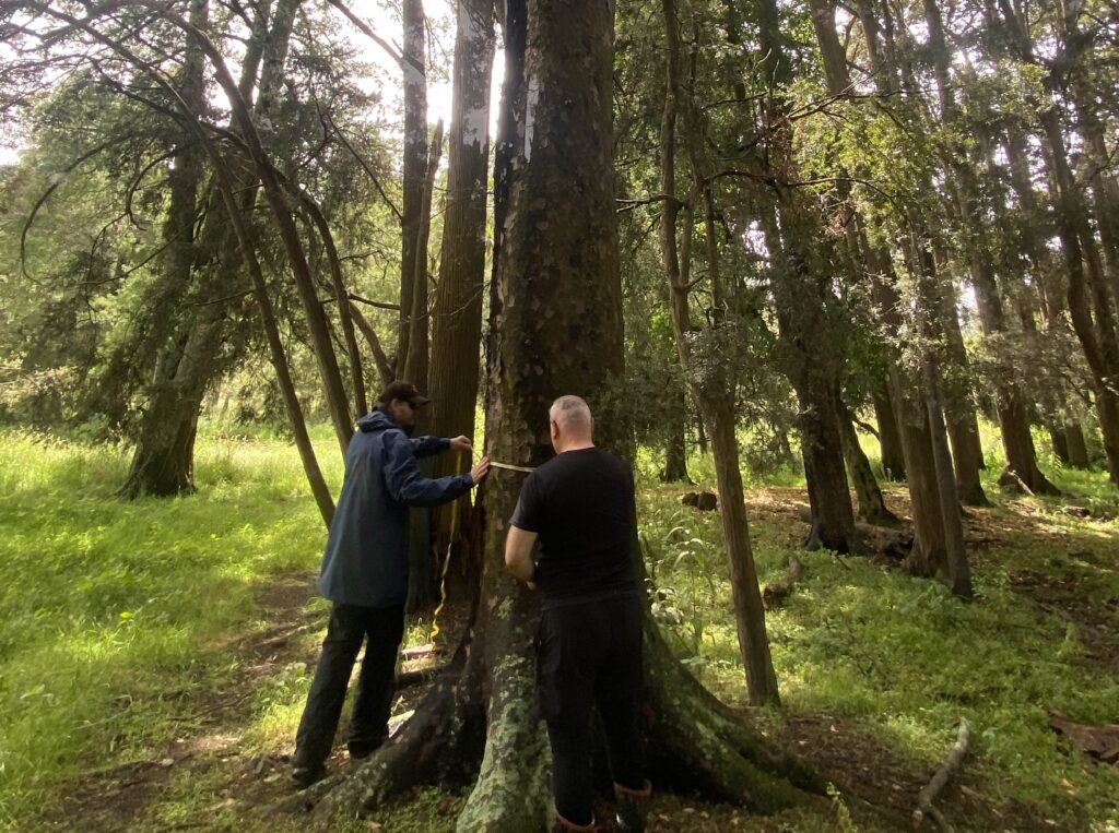
Andrew Wells measuring the diameter of a 70-year-old totara tree that had become partly buried in flood sediment adjacent to the Rangitīkei River.
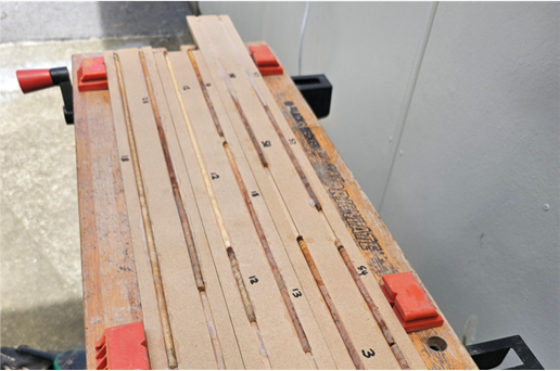
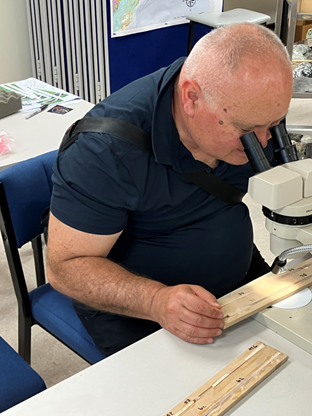
Once the cores were taken, they were glued into pre-made MDF boards with 5 mm grooves cut into them. Careful attention was paid to mark the bark and centre of each core together with the sample number. Tape was applied to ensure a tight fit while the PVA glue set. Once the cores had dried they were brought to Massey University for sample prepartion. The MDF board provides a level surface from which to start sanding into the core, beginning at coarse grit (60) and incrementally going finer up to 200 grit. Once sanding was complete, a binocular microscope was used to start counting the rings and filling the data out in a spreadsheet.

Dry cores mounted onto MDF board ready for sanding.

Utiku Potaka counting tree rings on finished cores

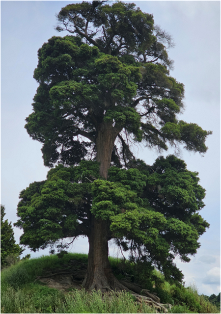
A large totara tree in the study area was found to be close to 300 years old.
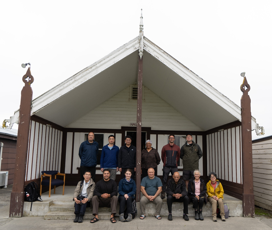
To learn more about the key findings from this report, come along to the next wānanga being held at Rātā Marae on the 23rd May 2026.
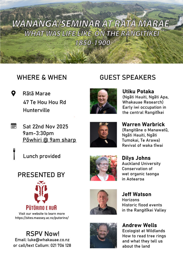
Here are the video recordings of six presentations from a wānanga held at Rātā Marae on 22nd of Nov 2025 for the Pūtōrino e Rua project, including:

The Whakauae Research team includes Utiku Potaka (Project Lead), Ben Barton, Luke Enoka and summer student, Liam Barclay (Ngāti Hauiti, Ngā Wairiki Ngāti Apa, Te Āti Haunui ā Pāpārangi). The team are tasked with collecting Ngāti Hauiti kōrero tuku iho (traditional tribal narratives) and historical whakaahua (images) of the central Rangitīkei River valley to describe the tribal mātauranga (knowledge) surrounding the event, people and place.
In October 2024, Ben created a comprehensive index of historical material and information required for the project. This also served as the framework for the digital document bank of primary source material, including Māori Land Court Minute books, manuscripts, images and maps.
In November 2024, Liam began transcribing handwritten Māori Land Court minute books, which contain material evidence related to the project. This was a challenging process that required patience, skill, and overall, a keen interest in the evidence. The first part of the transcribing is complete, which focused on ‘evidence in chief’ of witnesses. During his time, he has been able to find records of burials for two of Hauiti’s children, an unexpected treasure found among the minute books he spent reading over the summer. Liam said “the exciting thing about these kinds of discoveries, and where this may link to the broader aspirations of Whakauae, is that these findings might be found in the tari but eventually shared in the wharepuni”.
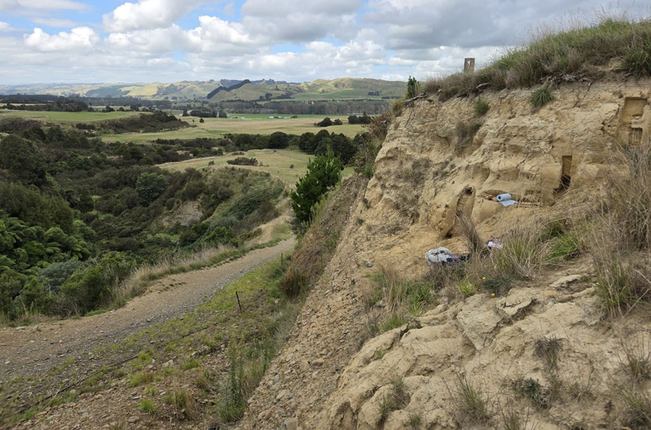
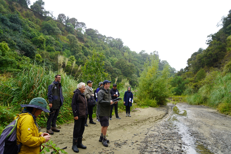
The Whakauae team also went on a hīkoi (field trip) into the Rangitīkei River valley to connect sites recorded in the minute books with the actual places. This process of ‘takahia te whenua’ or tramping the land helped give context to the material being transcribed and will eventually add to the mātauranga being compiled. This hīkoi was an opportunity to wānanga about Ngāti Hauiti mātauranga and sites of significance in the Pūtōrino vicinity.

The Pūtōrino e Rua project officially began in June 2024 and is just crossing over into its second year. As part of this milestone, we have submitted a report to the Ministry of Business, Innovation & Employment (MBIE) outlining work completed to date and our plans moving forward.
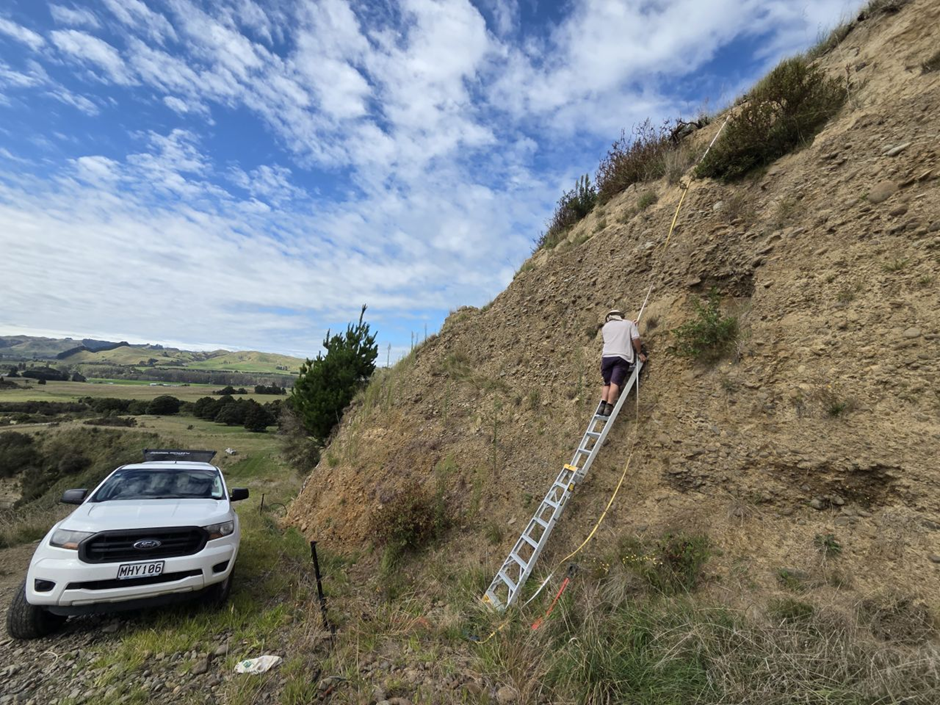
As we move into year two, the project team are collaborating with Dilys Johns from the University of Auckland and Daniel Parker from InSite Archaeology to document two waka tīwai found within the study area. Andrew Wells, a senior ecologist at Wildlands Consultants is also teaming up with an intern from Whakauae Research to undertake dendrochronology (tree ring analysis), using a range of podocarp trees preserved within the study area. This will help constrain the age of the landslide surfaces and provide information on the environment over time. The team are also working closely with iwi artists to bring the project story to life, providing visualisations for the public that convey mātauranga and western science.
Keep an eye out for more photos and videos as the project progresses!


The Pūtōrino e Rua team have released a video to let people know what this project is all about.
You can find the video here
Huge thanks go to Sacha Keating (Te Āio Productions) and Abby Kingi (Lamp Studios) for putting this fantastic video together for us.

The Pūtōrino e Rua project now has an offical logo designed by the very talented Te Mana-o-Tawhaki Henare Huwyler. You can find a write up on the meaning behind the project name and logo here.

The Pūtōrino e Rua team have developed a story map that sets the scene for the project from a western science perspective, illustrating the world class geology in the Rangitīkei and how it ties into the project objectives.
The story map can be found here

This website provides a platform to share information and ideas associated with the Pūtōrino e Rua project based in the Rangitīkei River Valley. If you have any questions, please feel free to get in contact with Callum Rees from Massey University.